Sunday, June 1st
It’s one thing to chase a storm… it’s a whole separate game when the storm chases you. That is what happened to us this past Sunday while in pursuit of our target storm.
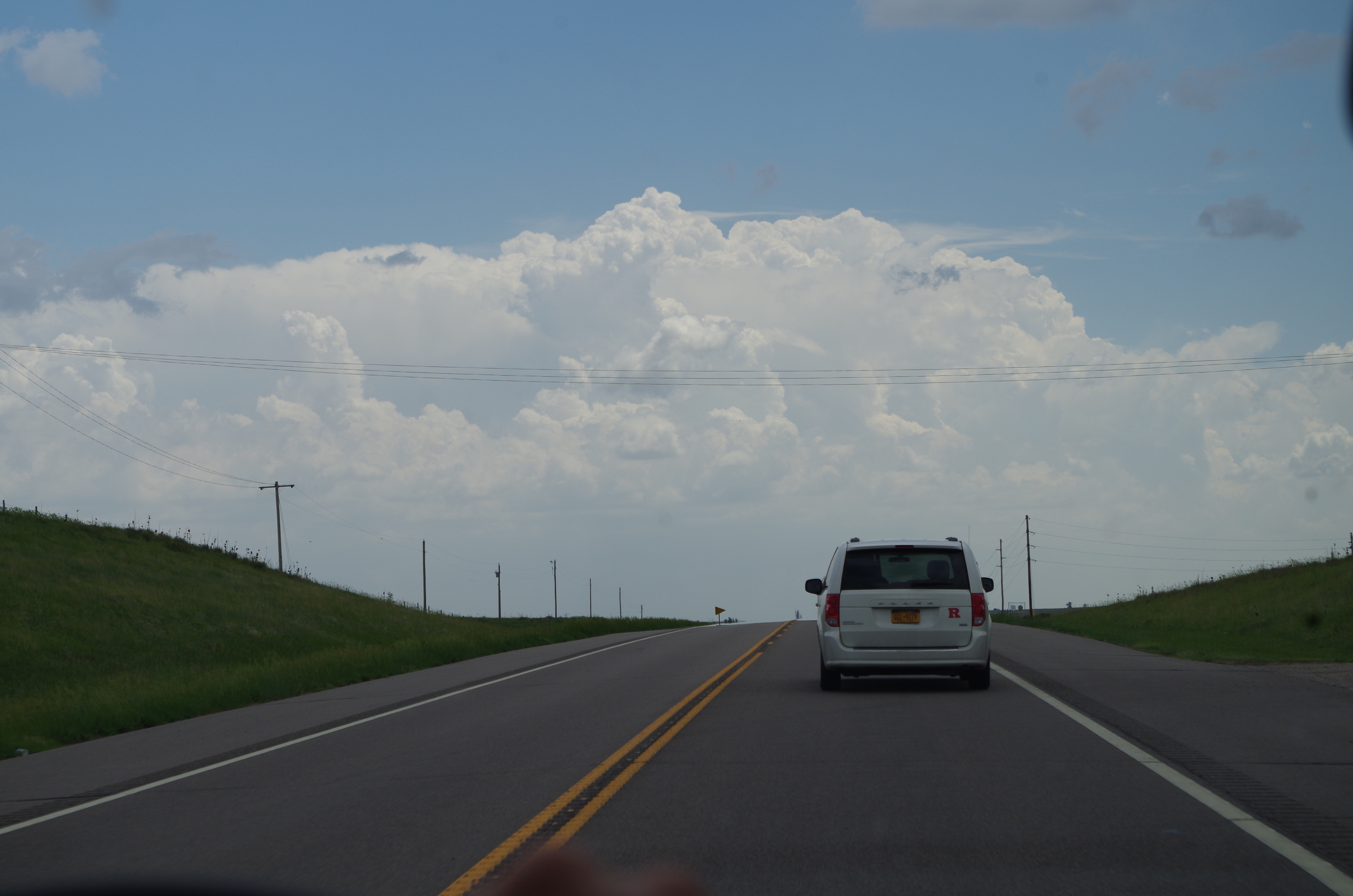
All the forecasting parameters for tornadic supercell development were looking much better than on Saturday, which was already a wild day, so we were very much looking forward to the day ahead. However, a major concern for us was that these supercells were expected to merge together later in the day to form an MCS (Mesoscale Convective System), causing a major straight-line wind problem for us rather than producing a tornado. Ideally, to get a nice tornado, you want a supercell that is independent of any other storm. When they start merging, that lessens the chance for tornadic development.
The day started off with a good omen as we woke up to an isolated thunderstorm that was producing dime-sized hail. Not only was it a good omen, but the outflow from the storm would later help enhance the lift for storms occurring later on in the day.
As usual, we waited in one of America’s great public parks for convection to initiate. We strategically positioned ourselves right where a warm front and a dry line were intersecting, creating the best probability for severe weather to first occur along both boundaries. Our forecast verified as storms began firing just west of us. Sooner than later, we were in active chase mode and in pursuit of our first storm of the day.
Sadly, as fast as that cell formed, it began rapidly losing strength and it’s outflow began feeding surrounding storms to the south and east of us. The southern storms being a much better target for us, we booked it southward towards the newly forming storms down there.
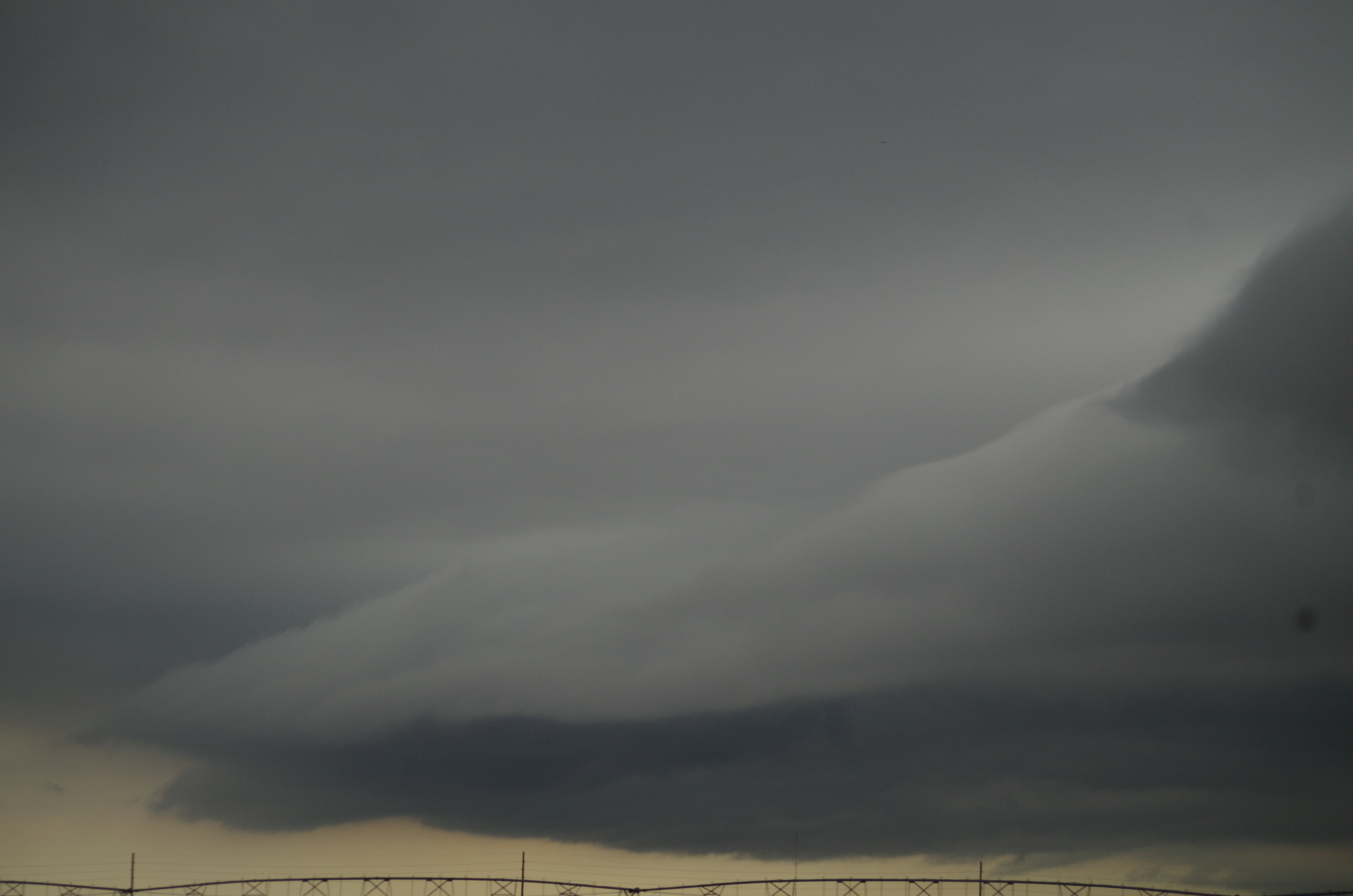
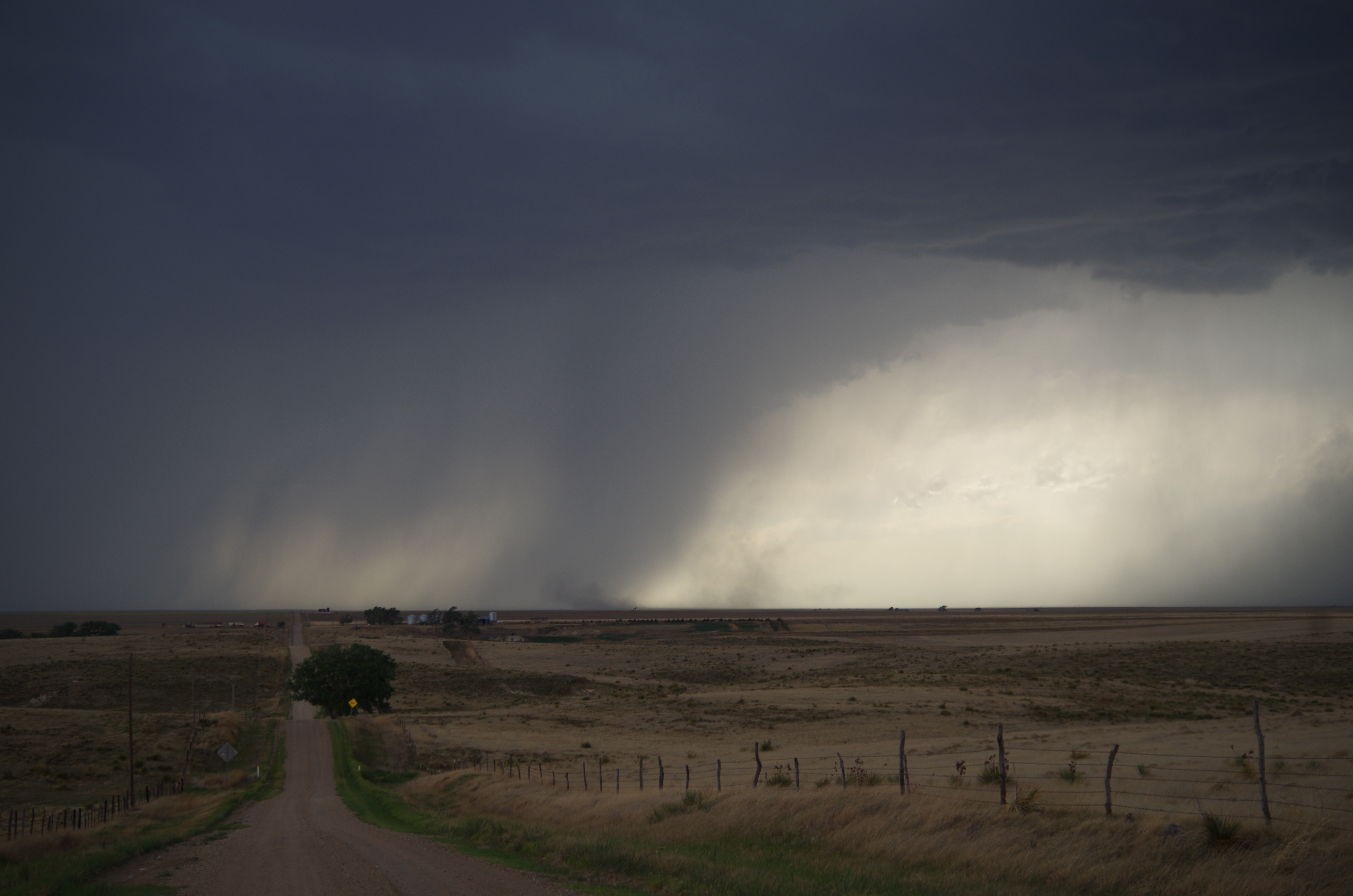
We timed out our arrival at the southeastern portion of the storm so that we wouldn’t be overrun, but halfway down our intended route, we hit a road closure and were forced to take a detour. Unfortunately for us, detours in Kansas weren’t like detours in NJ where the next street was a half mile away or less; our Kansas detour took us about 45 minutes off our path, which completely jeopardized our plan. By the time we reached our storm, we only had minutes to pull over and take photos of it.
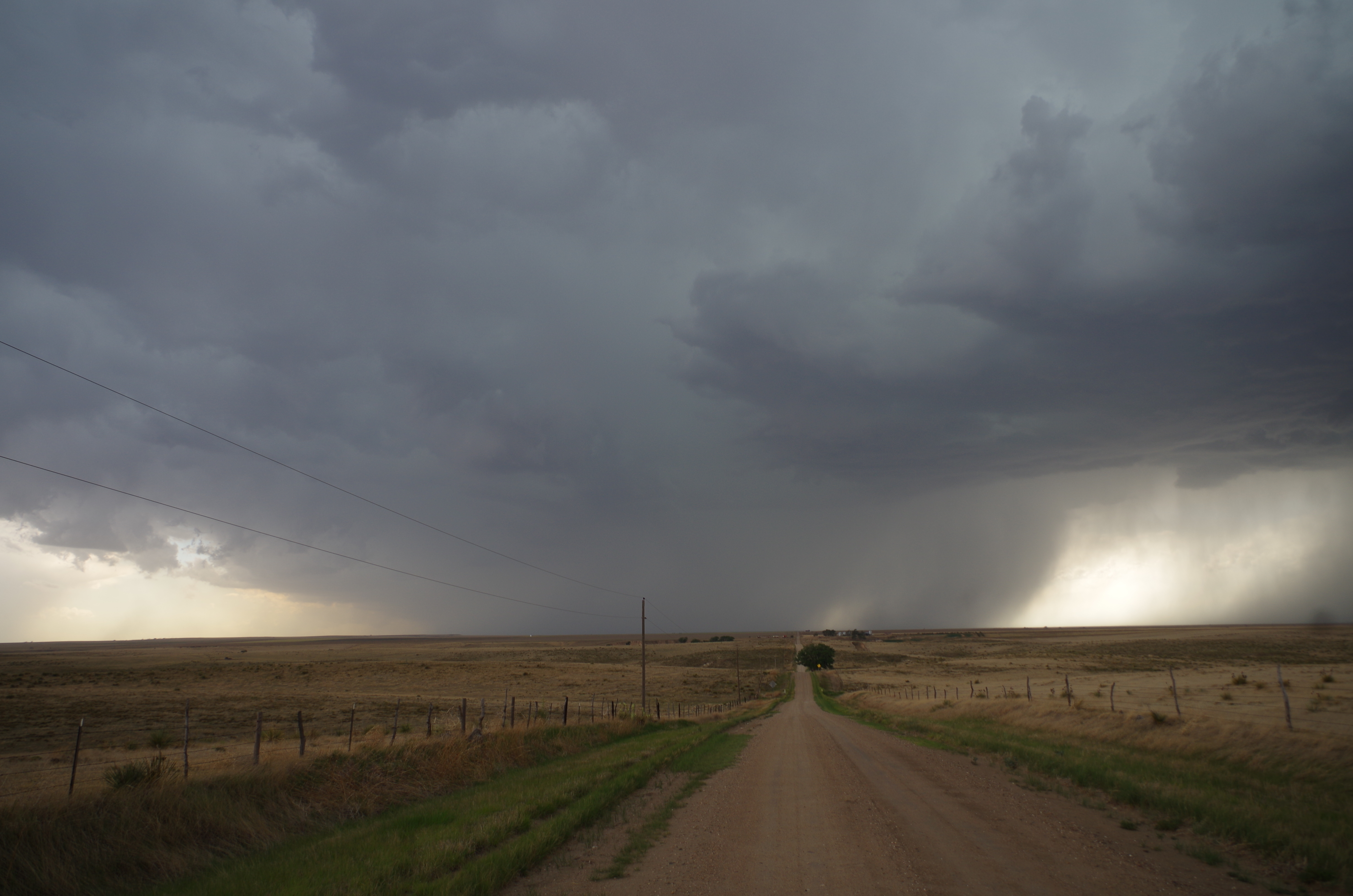
In a heartbeat, we were peeling away from the storm as it moved swiftly towards our location. We took another quick stop to take a few more photos. By this time, the storm began merging with other surrounding storms and a stronger outflow began to develop.
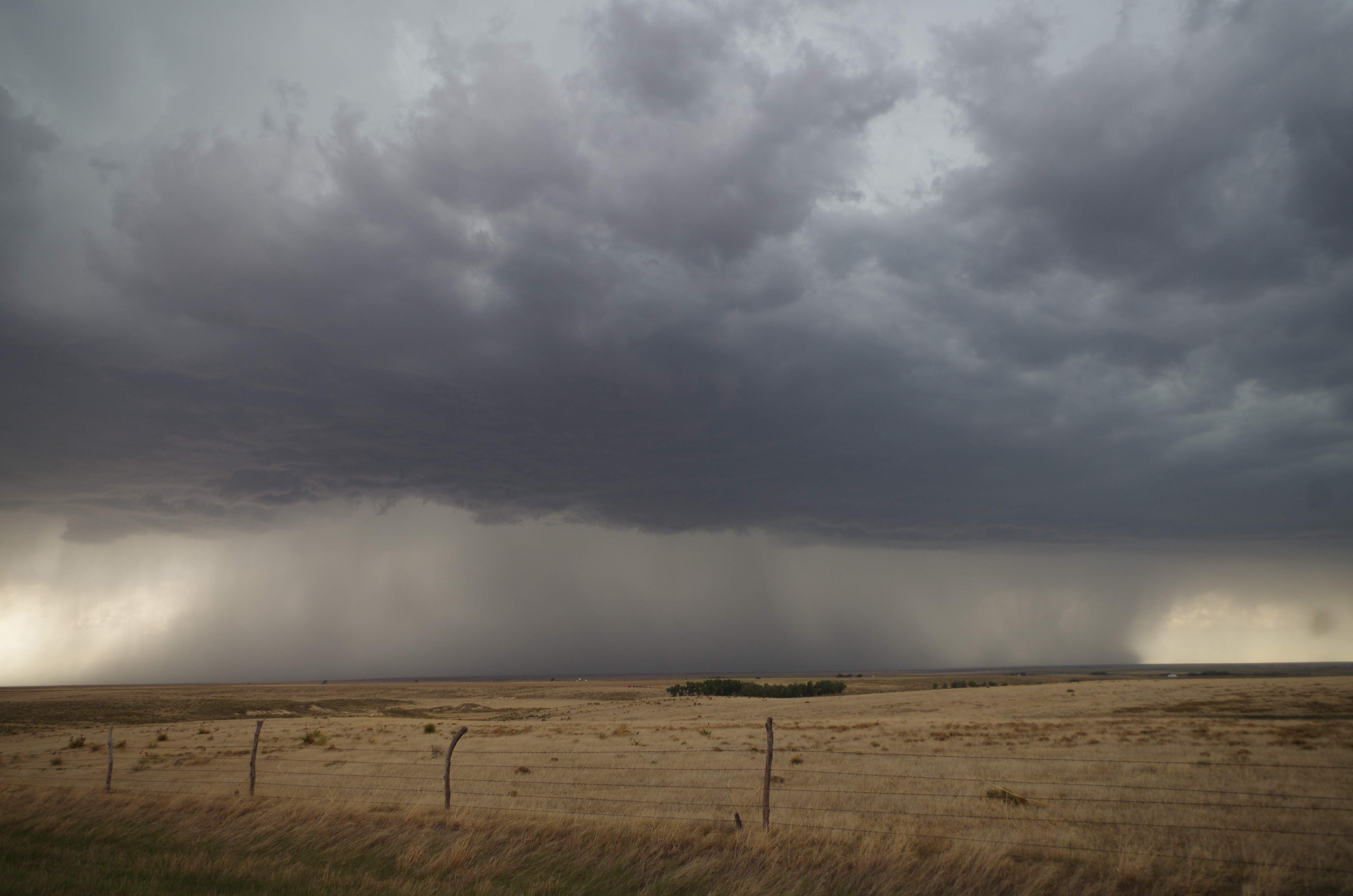
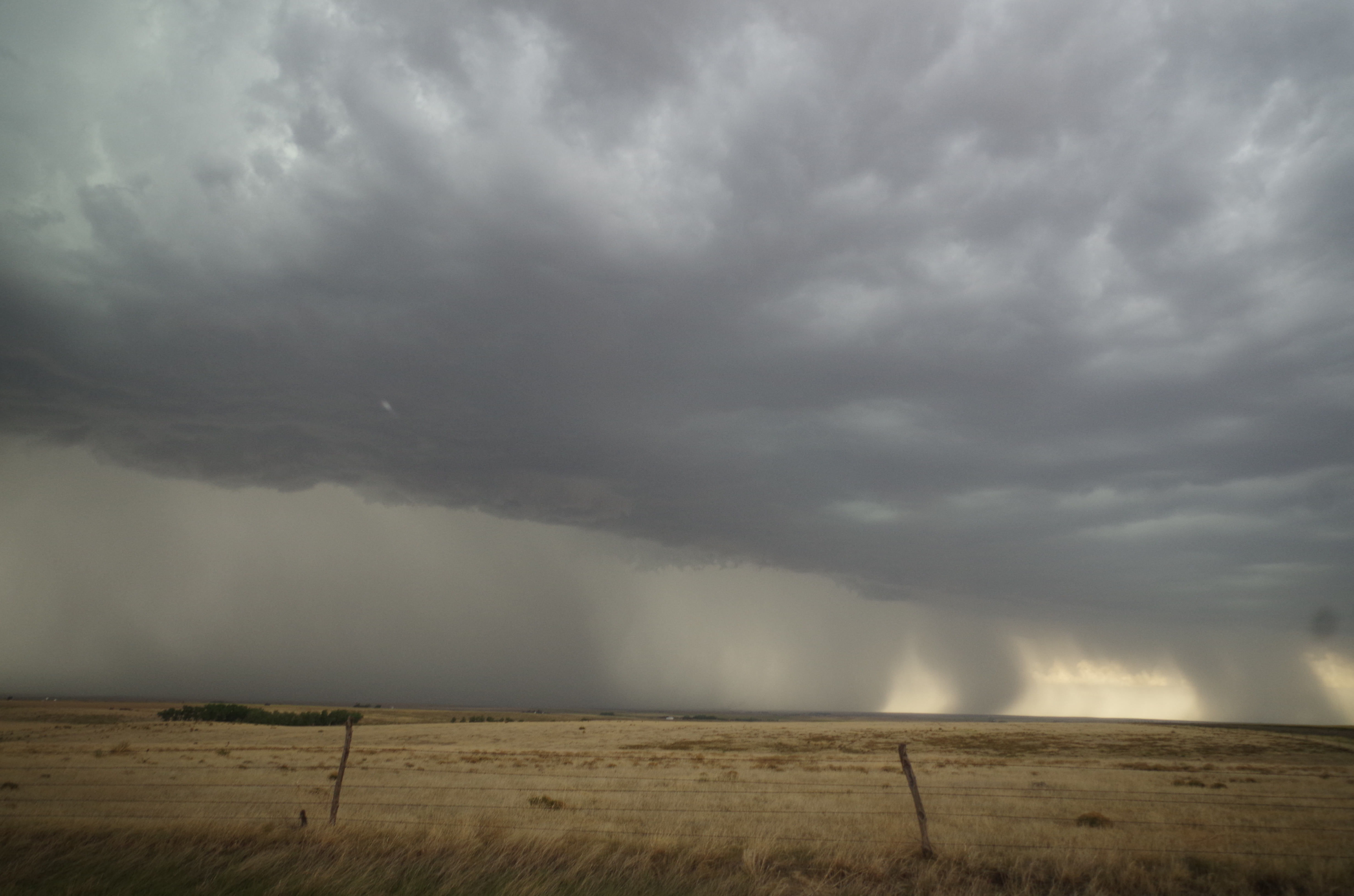
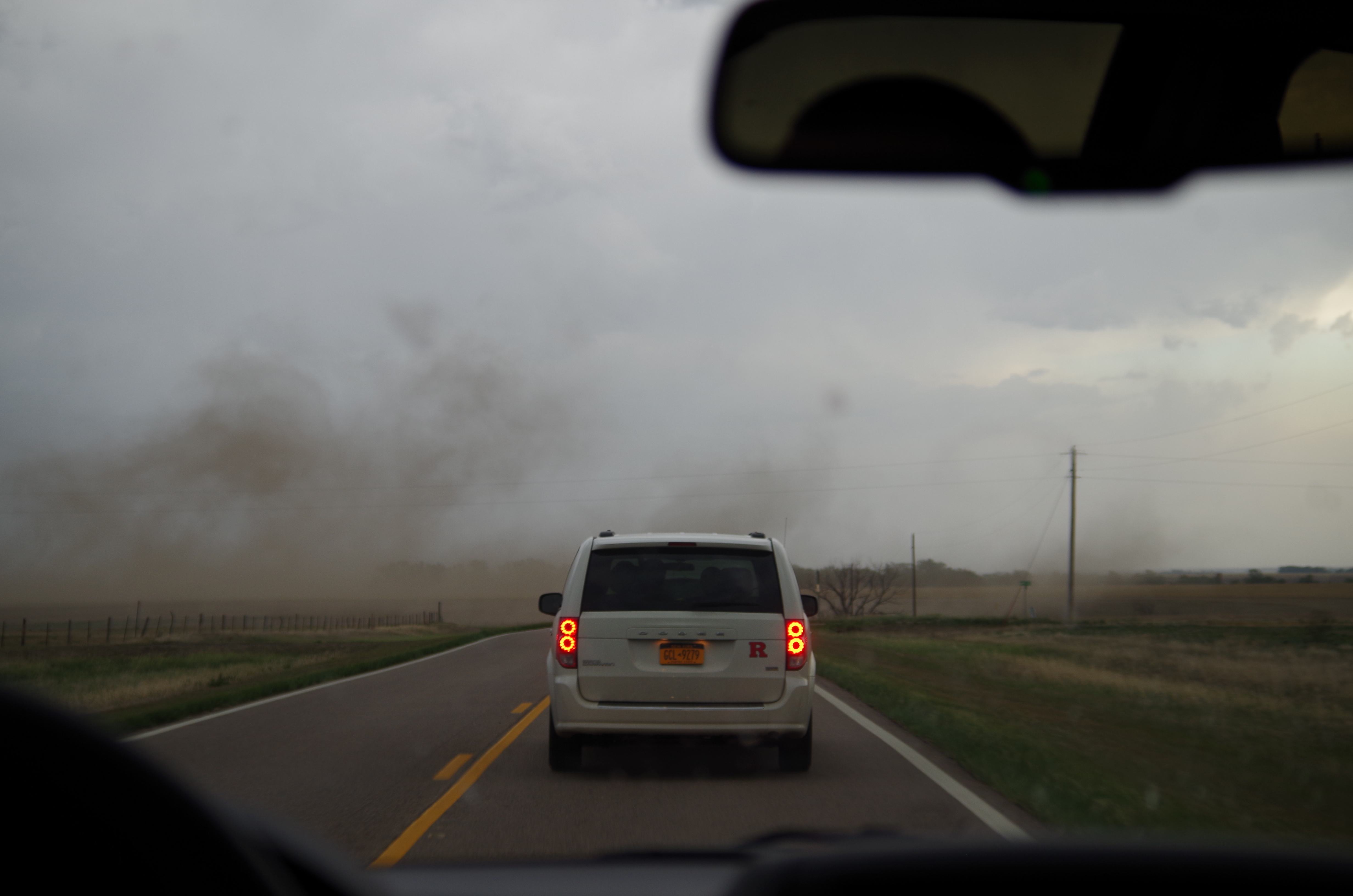
Driving as fast as we could away from the storm, the outflow became stronger and started to catch up to us. Dust was being kicked up right in front of us by the edge of the outflow, turning it into a race against the outflow boundary. Outflow boundaries can cause strong straight-line wind damage, so being in one was not a good thing for us. Though we were far from the storm, the outflow caught up to us and put up a spectacular show of force.
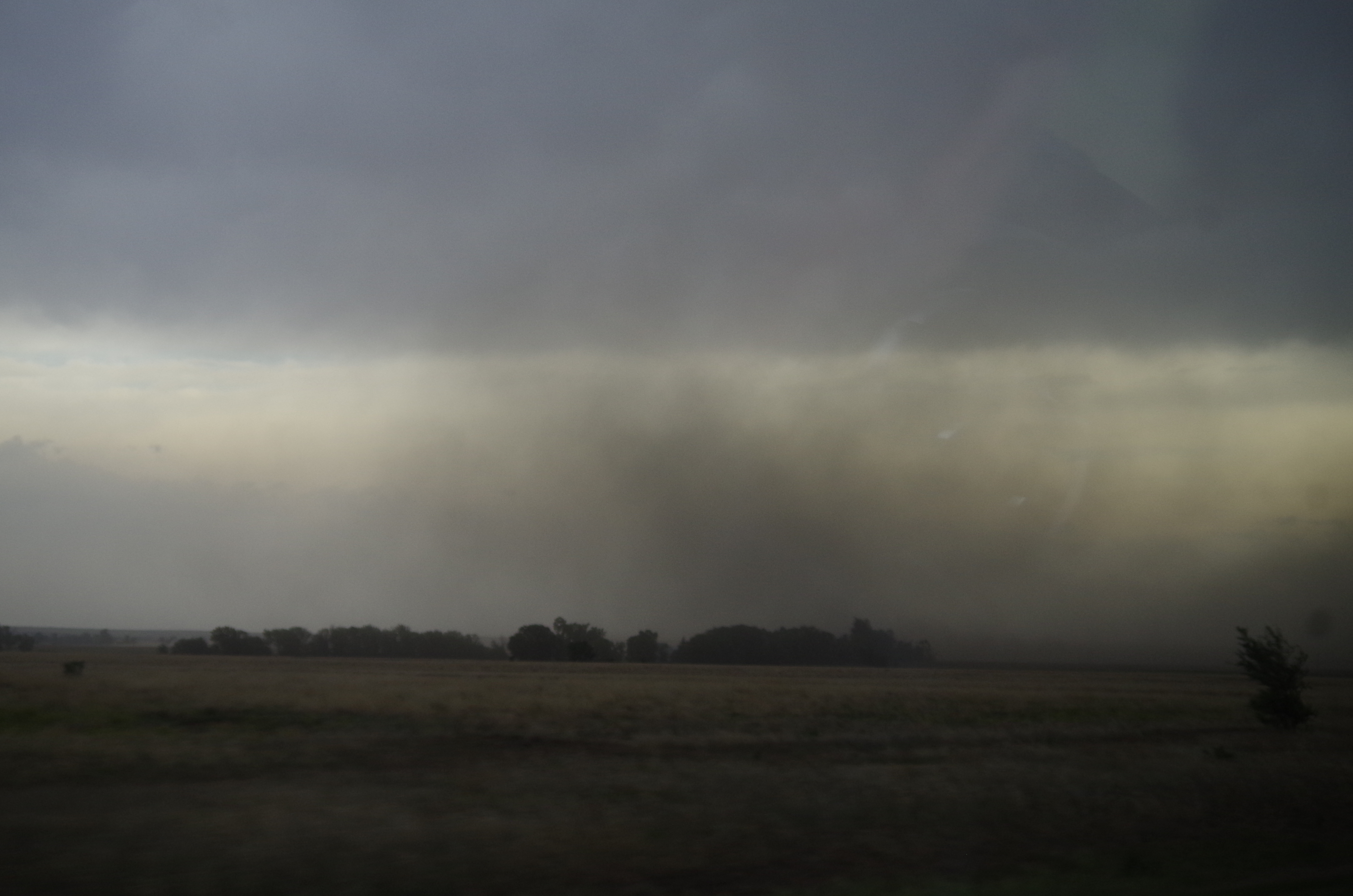
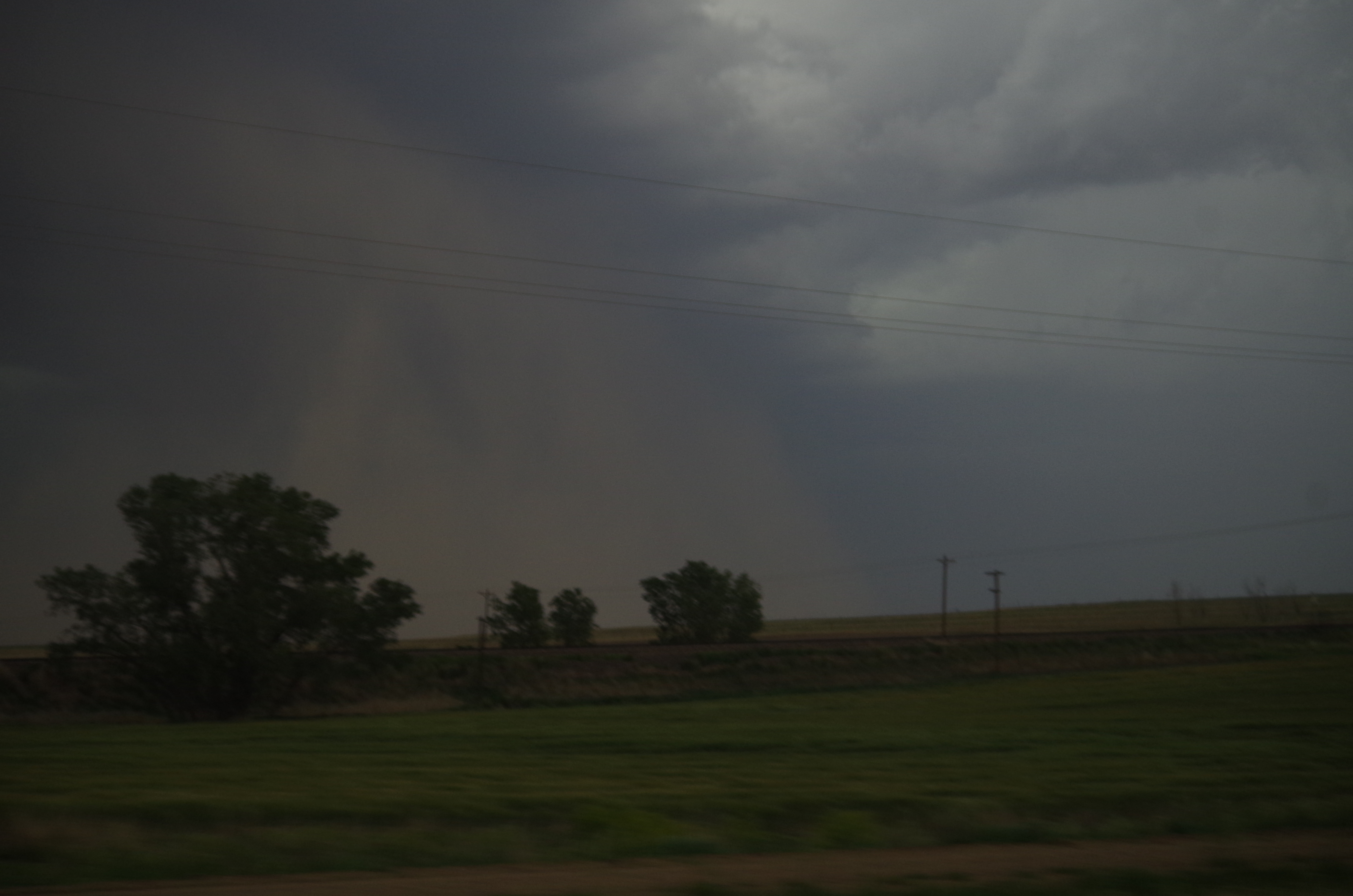
We took another “15 second” stop to witness an amazing supercell and its monster of an outflow.
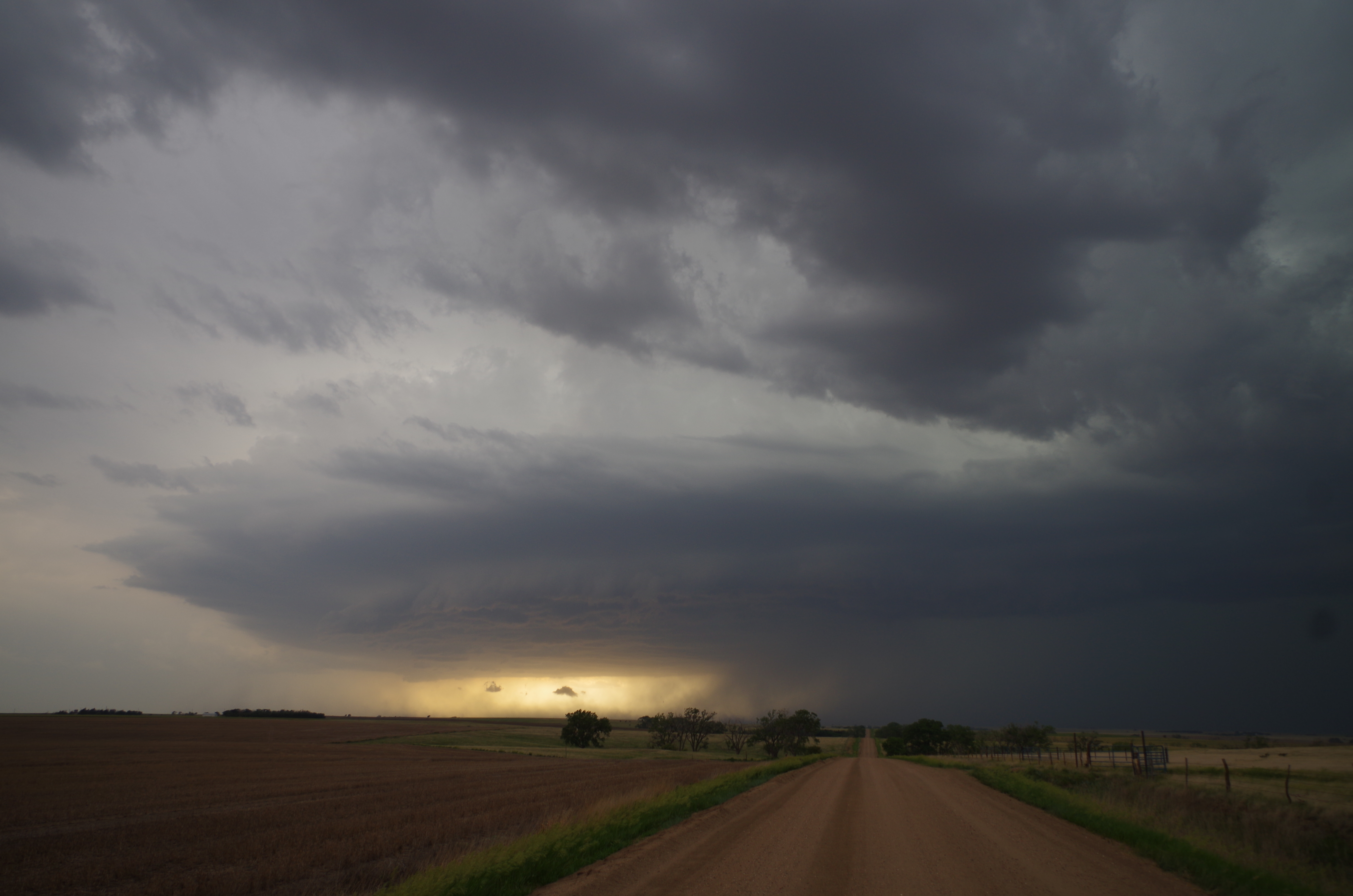
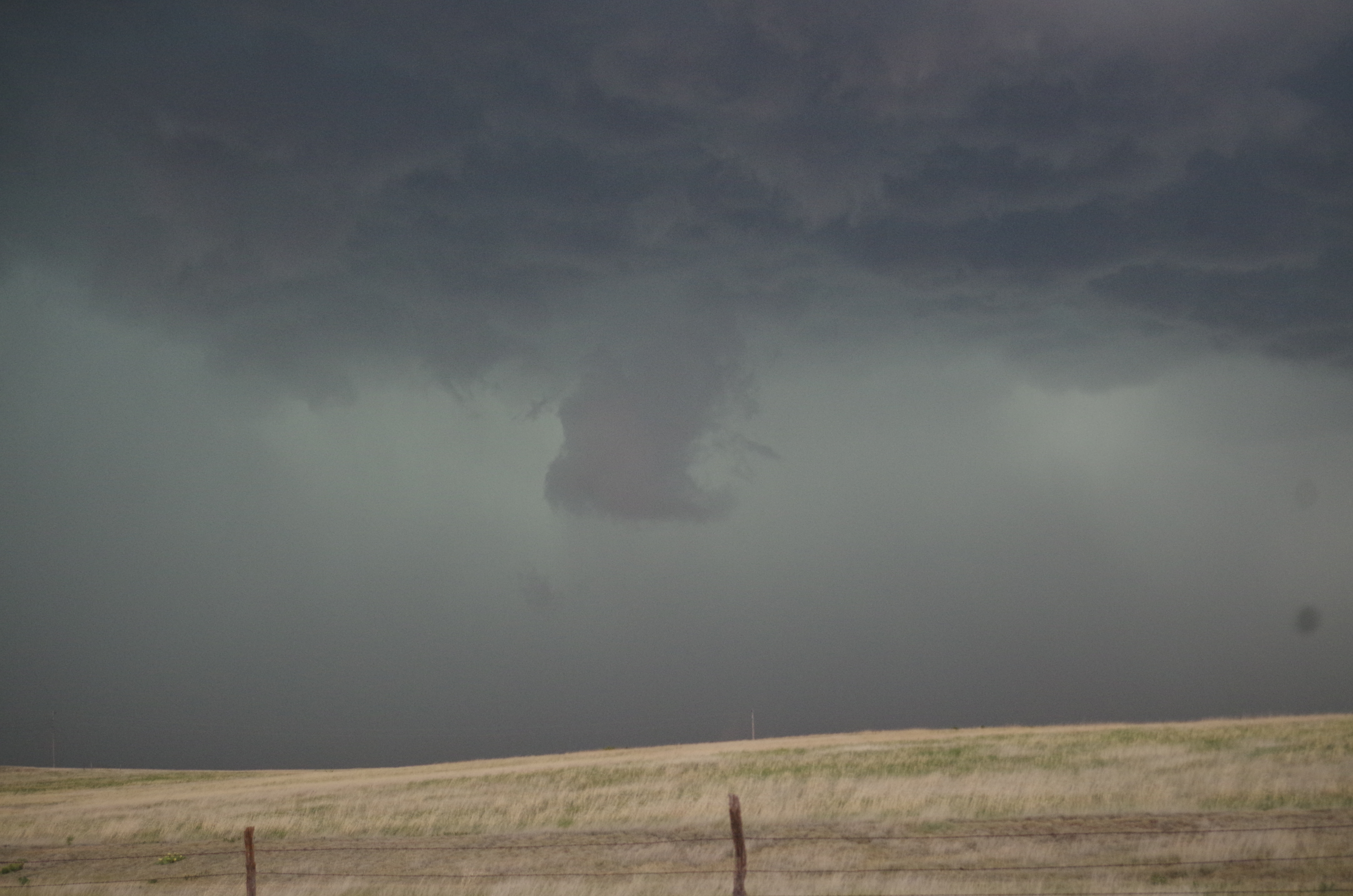
Booking it away from the storm once again, the outflow became stronger and stronger. We had to stop multiple times in order for a cloud of dust to pass by in front of us. Another 15 second stop allowed us to witness an outflow blowing a cloud of dust into a small town we just passed.
As we continued our trek away from the storm, one of the outflows suddenly became more violent, kicking up a black cloud of soil. Suddenly, this black mass began rotating and moved towards the road we were driving on. The rotation become more concentrated and suddenly, we had what is called a “gustnado.” Gustnadoes are weak swirling vortexes caused by strong wind shear at the surface. The outflow boundary likely impacted a region of inflow moving in the opposite direction, causing the boundary to swirl. Gustnadoes are not tornadoes, but can occasionally cause damage similar to that of an EF-0 or EF-1 tornado in extreme cases. As the gustnado approached the road, the caravan had to stop and let it pass so we wouldn’t be stuck in the path of it. After letting it pass, the rest of the outflow hit us with dust and wind.
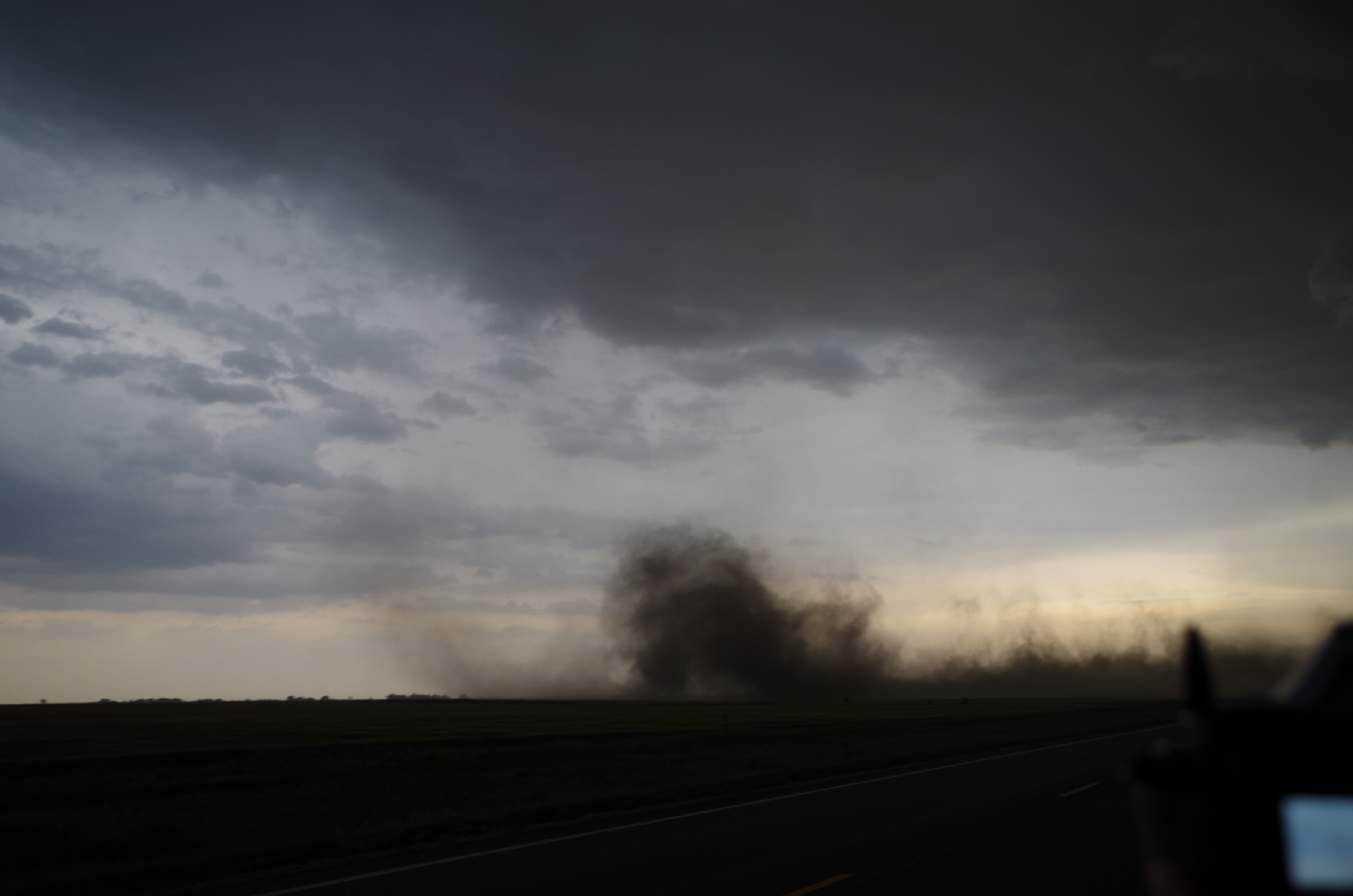
Video: https://www.facebook.com/photo.php?v=888179611209055 (Credit – Ray Jefferson)
We finally ran into a south route that led us out of core of the storm’s path. We drove into a small town for a quick dinner to allow the remaining fringe of the storm pass us by. After dinner, however, the atmosphere gave us a nice final treat to end the day. Walking out of the Pizza Hut, we witnessed the most amazing culmination of mammatus clouds I have ever seen.
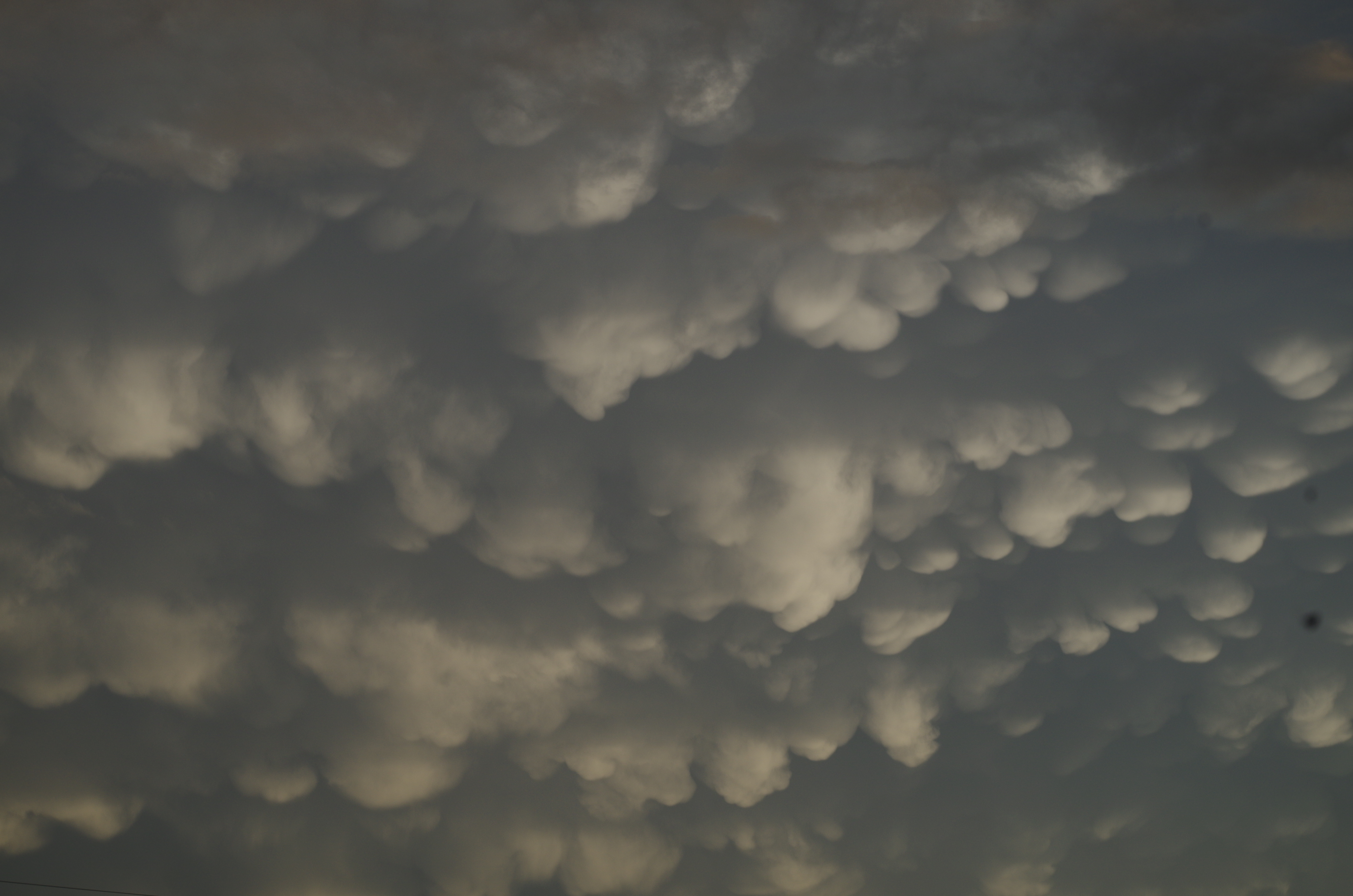
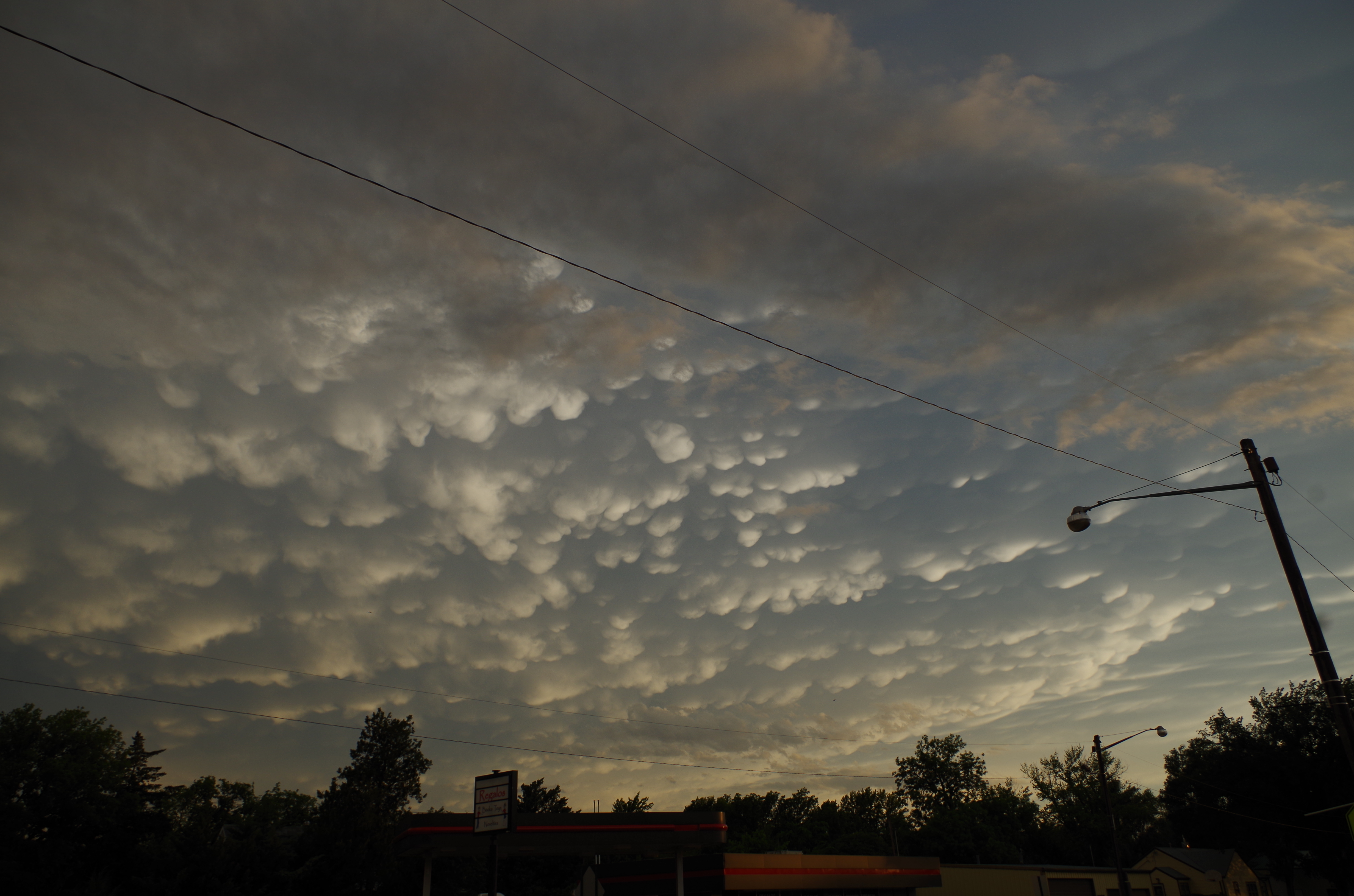
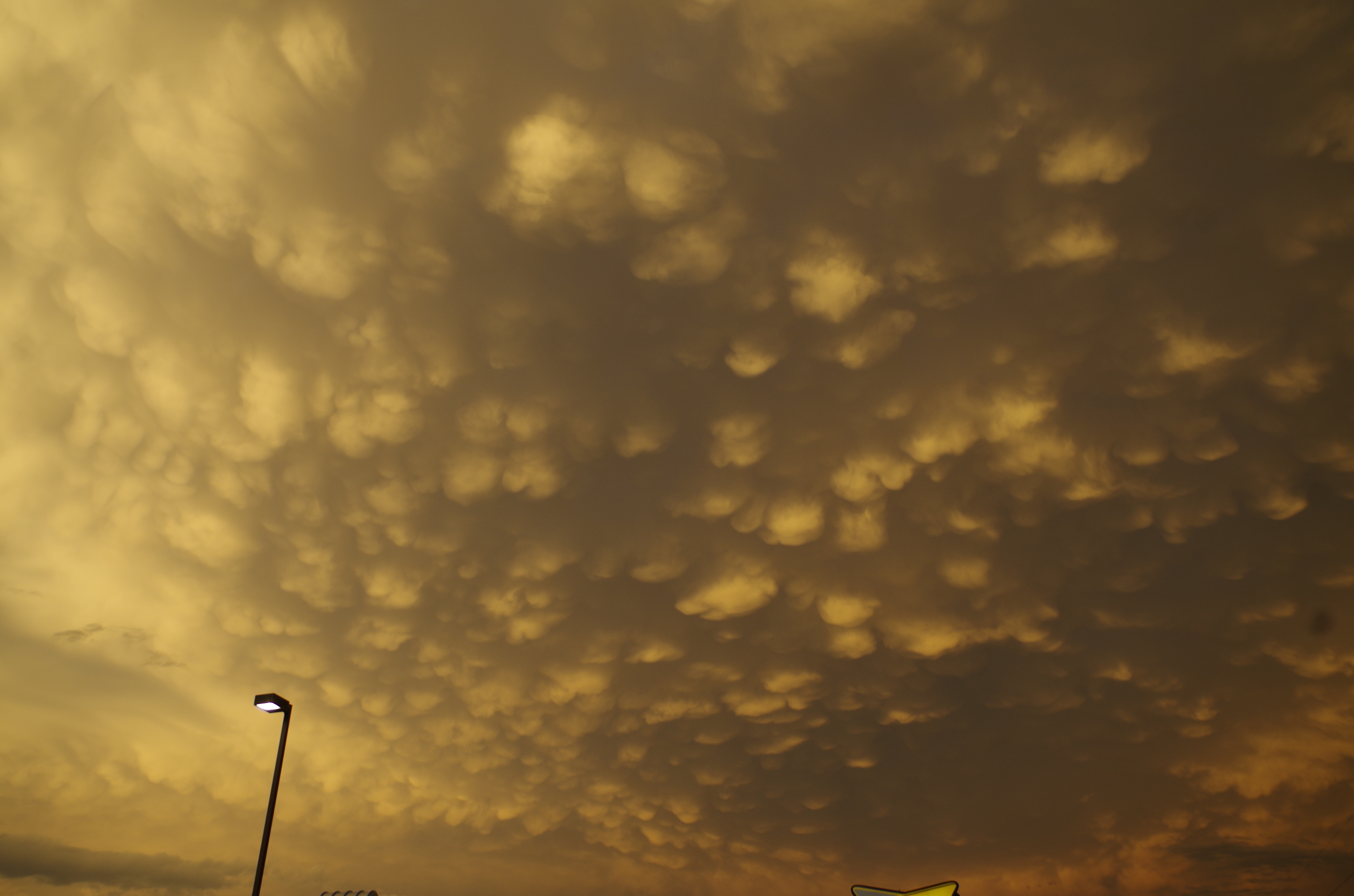
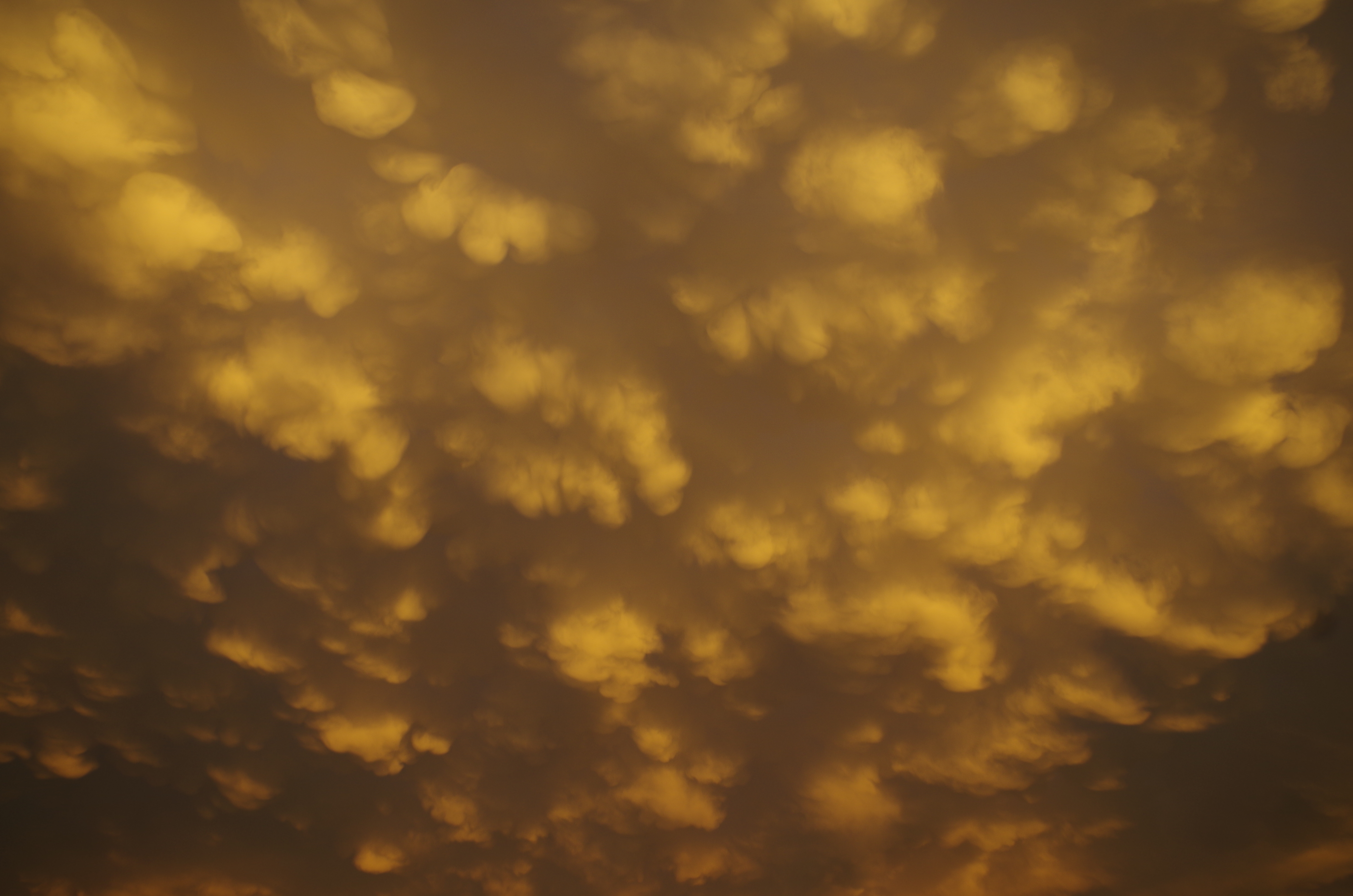 Another amazing end to an amazing day of chasing!

