Saturday, June 7th
Today was one of the last days for storm chasing and we were hoping for some luck. SPC is putting us under a Slight Risk for the day with a 5% chance for tornadoes in some regions.
Hoping to squeeze one more twister out of this trip, we headed West back to New Mexico, this time to Tucumcari. It was my day for forecasting once again and, looking over the data with Scott and Dr. Decker, we decided that Tucumcari was the best location. I told Dr. Decker that I had a gut feeling to position ourselves South of Tucumcari by about 30 minutes. However, there was no significant town 30 minutes south of the city. The closest one was Clovis, which was about an hour away. I wasn’t comfortable traveling that far south to only have to book it back north to Tucumcari if it came to that.
Upon arrival at Tucumcari, a thunderstorm had already developed along one of the outflow boundaries and began strengthening. To catch it correctly, we had to book it back east and then south to get into intercept position. This was pretty exciting because had we been about 30 minutes south of Tucumcari, we could’ve been a quick and simple ride ahead to catch the storm. However, pulling over for our viewpoint on top of a plateau, the storm we were looking at began falling apart and another storm to our south began taking form. Radar data, of course, was shotty. Even on the plateau I was having trouble grabbing a data signal. I had to stand perfectly still in an awkward position to get a usable signal (the things you do for data!).
When we finally determined that the northern storm was not worthy of chasing anymore, we sought after the southern storm that, at that time, looked more promising. However, nothing much was happening at all, and we were getting jittery. As I’ve said countless times before, waiting for these storms to get their act together is like watching grass grow.
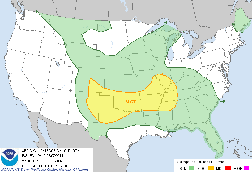
Then our southern storm started to weaken as well, but now Tucumcari was becoming active once more. Heading northward, we watch the supercell develop rapidly before our eyes. Before we knew it, it was severe warned and we were seeing mesocyclone detections and tornado vortex signatures popping up on our radars. In addition, a strong couplet formed inside the storm. Soon enough a hook echo also appeared on our radar.
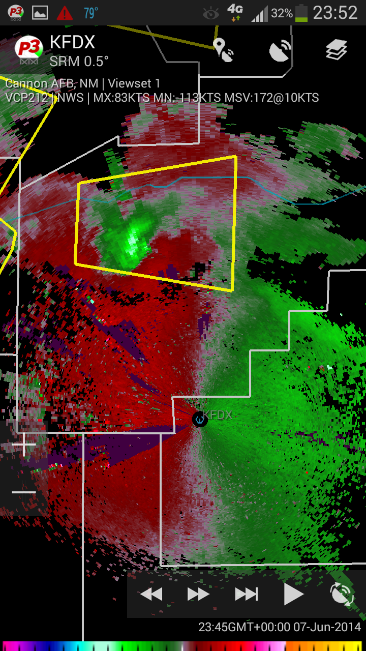
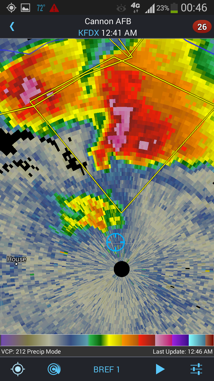
In all, this cell was a textbook supercell to produce tornadoes. However, it never did. Interacting with a new storm cell base that formed close to it, the organization of the storm fell apart, converting itself into a giant conglomerate of storms as it merged with more surrounding cells. Driving back southward towards Clovis to both follow and avoid the giant MCS, radar picked up upwards of 5 TVS’s at once in that cell. There was also a tornado warning issued for he complex, however sun was setting soon so we couldn’t follow it anyway. Plus, it was likely rain-wrapped as well, making things even more dangerous.
In the end, it was a good, but frustrating day, as we had the perfect supercell for tornadic development, or so we thought, following all parameters on the dot from a textbook tornadic supercell. I guess this just goes to show you how much we still don’t know about these storms.
